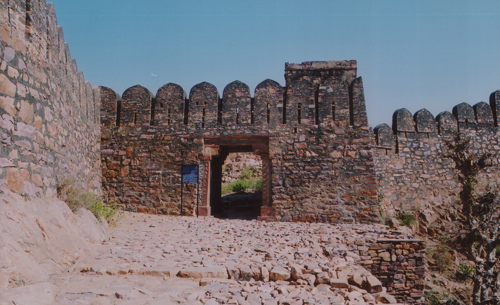
SHERGARH FORT
Photo


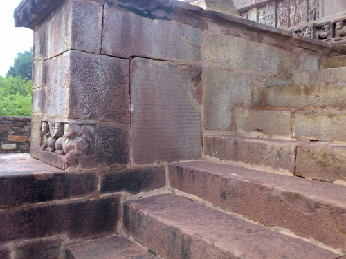
Shergarh is supposed to have been named after its capture by Shershah of the Sur dynasty in course of his Malwa campaign. The ancient name of this town was Kosavardhana, “the increaser of treasury”. Being a place of strategic importance, Shergarh was ruled by different dynasties from early times. An inscription found here refers to Samanta Devadatta who ruled in A.D. 790 and built a Buddhist temple and monastery here. Hindu rulers patronized Buddhism, Saivism and Jainism. The temple of Somnatha was the principal place of worship in tenth-eleventh century A.D. The Lakshminarayana Temple, consisting of a sanctum, antarala, mahamandapa and ardhamandapa is well preserved and is assignable to the eleventh century A.D. An inscription in this temple narrates the genealogy of the Paramara kings of Dhar from Vakpati to Naravarman. An inscription of A.D. 1228 records that a devotee of Siva built here a water-house.
| Notification No. | Act No. LXXI of 1951 dated 28.11.1951 |
| Notification in PDF | |
| Ownership Status | Gairmumkin Abadi (Teli Samaj) |
| Topographical Features | Situated on the bank of Parwan river. |
| 1 | Chandramani Singh (ed.), Protected Monuments of Rajasthan (Jaipur 2002); ( |
| 2 | Epigraphica Indica, Vol.XXIII(1935-36); |
| 3 | K.C. Jain, Ancient Cities and Towns of Rajasthan (Delhi 1972) and |
| 4 | Savitri Gupta (ed.), Rajasthan District Gazetteers, Kota (Jaipur 1982). |
| Locality | Tehsil | District | State |
| Shergarh (24º 42’ 25” N, 76º 32’ 26” E) | Atru | Baran | Rajasthan |
District


 By Air : Kota
 By Bus : Atru
 By Train : Atru